Storm Moves Further South and Strengthens
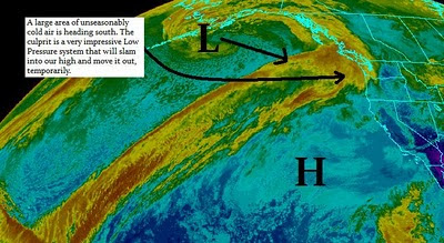
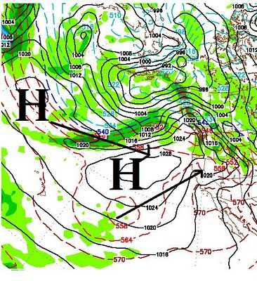
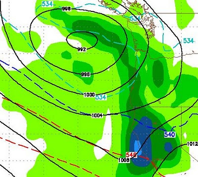
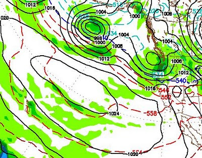
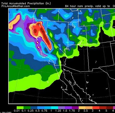
Current We have two impressive systems that are going to collide. The high pressure to our west is going to give way to a very impressive Low Pressure system to our north. There is a decent moisture tap, however this storm is coming straight out of the north. That means the tap will not be as wet. If this system stays just a hair west, we will get more moisture. For now, however this looks like an ok snow event for the Tahoe Sierra with 1-2 feet at the Sierra Crest and 6-15 inches in the Carson Range. It is going to get cold. The chart below shows what is happening. Notice the area just south of the low. That is some seriously cold air. Some of that air is coming our way for tomorrow and tomorrow night. Looking Ahead We are again going to be on the southern edge of some very impressive storms for this time of year. This gets cranked up next week. I talked about the PNA going negative, it looks like we will have a decent chance of being hit by 1 or more storms in the next couple