Storm For Sunday/Monday Strengthens
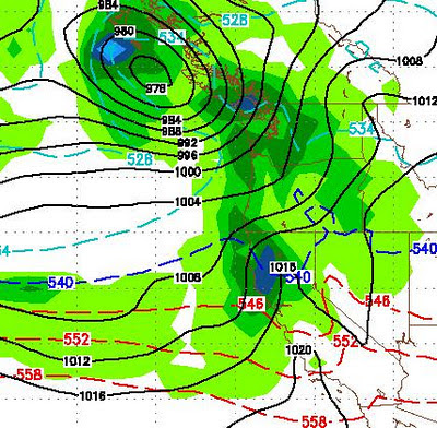
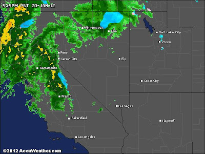
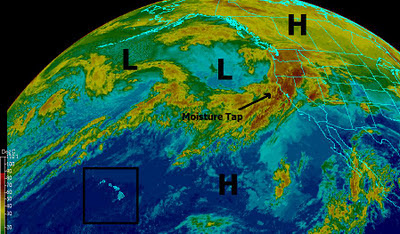
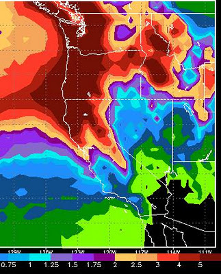
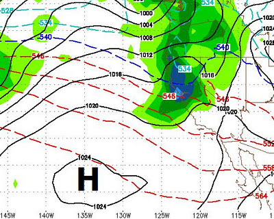
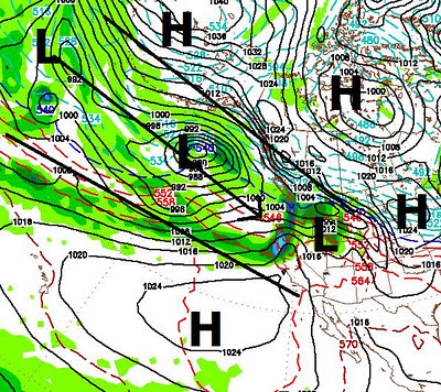
Next Storm The last storm in our series of storms is getting more impressive by the hour. In addition, snow levels should be around 5,000 to 6,000 feet max. The storm will crank up Sunday afternoon and last through at least Monday morning. There is now a very adequate moisture tap associated with this storm. The Sierra should pick up 1-3 feet of very skiable powder. The Carson range about 2/3 of that. Here is a forecast for 4:00 Sunday afternoon by the GFS. I am thinking the GFS is a little slow on the storm which may well get going earlier. In any event you can see the moisture tap from the west that is feeding this storm and the NWS has increased their snow totals. 4:00 Sunday (GFS) Current Conditions I went to Mt. Rose Ski area early this morning to get in a few turns. That is what I got, just a few turns. Unfortunately most of the precip from last night came in the form of rain except in the highest elevations. Lake Tahoe rose 2 inches last night as reported by the NWS. The