Changes Coming, but Slowly
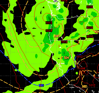
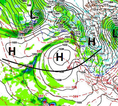
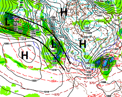
After a month of high pressure dominating our weather, there are indications that changes are coming. However, they are taking their time getting here. In my last post I talked about conditions ripening for a more stormy weather pattern around the first or second week of February. I am tracking a decent sized storm that will make it to our area. However, by the time it gets here, it will have weakened and will probably not bring significant snowfall to Tahoe. That storm which is heading toward the Washington/Oregon coast now, will make it's way into our area Friday and Saturday. As it moves inland, it will severely weaken, however. Here is a look at late Friday: This storm, like the past few will be moisture starved and will probably really kick our winds. It will also usher in a much cooler air mass. Where others see disappointment, I see opportunity. This storm is going to knock down our stubborn ridge of high pressure. Although the ridge will return by Sunday, it will be