Wash Your Car
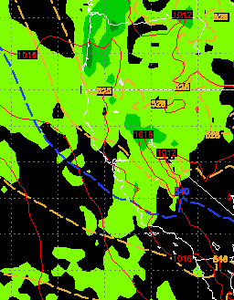
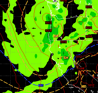
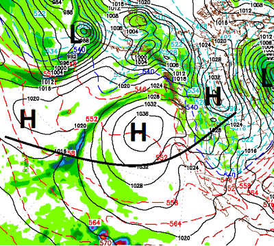
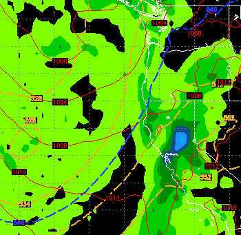
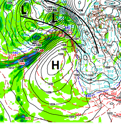
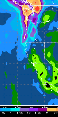
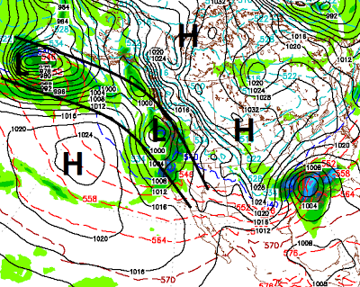
Beautiful weather for the weekend will turn into a series of storms heading our way for next week. The pattern change will begin on Tuesday and last through the weekend, at least. These systems will bring in much colder air but the models are in stark disagreement with the amount of moisture headed for the Sierra. We will focus on the more consistent EC model. Below are a series of forecasts for what I would call chances for moderate snow in the Sierra on Tuesday night, Friday and Saturday. Tuesday Night Friday (2-22) Saturday (2-23) These storms together could bring as much as 1-2 feet of snow to the Sierra and Carson range. They will also bring much cooler temps and much windier conditions. Remember, the EC model is the most aggressive. The GFS, which has been the least reliable model for a couple of years now, is predicting much less precip. Finally I wanted to show you why a chance exists for these conditions and storms to continue into the first week of March