As El Nino Taps into MJO, Expect stronger Warmer Storms
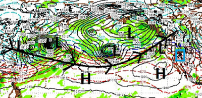
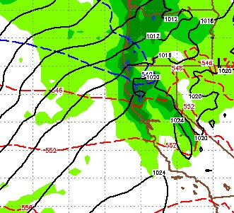
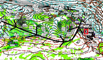
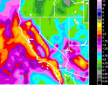
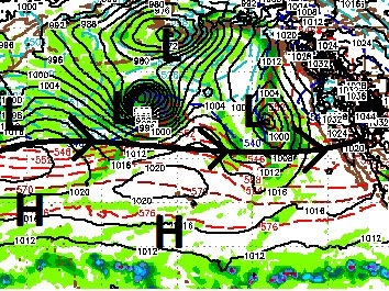
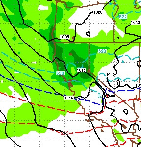
The storm train continues, here is a look at the current conditions in the Pacific Ocean: Much of this moisture is due to a very active MJO in the Western Pacific. El Nino is tapping into the MJO and sending storm after storm our way. El Nino + Strong MJO = Dangerous Combination We expect these storms to increase in size and intensity. Also, perhaps starting next week, we will start to see warmer storms with rising snow levels. We have been warning about this for months now. As the Pineapple Express taps into the unusually active MJO, we could see snow levels rise into the 8,000-9,000 foot range with extremely moist storms. As the snow pack in the upper elevations continues to increase, we will have to keep a very close eye on this. Folks, all that water has to go somewhere and down is the only way. Be aware that the risk is very real over the next 2-3 weeks, at least. If snow levels stay under 8,000, flooding will be minor. At 9,000, streams and rivers will overflow their bank