Cold storms stacking up through at least December 12
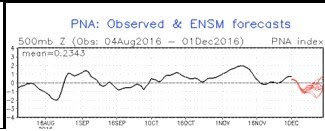
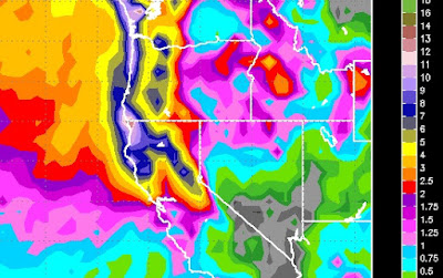
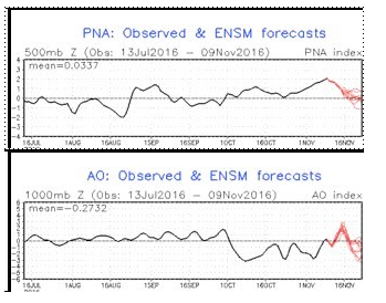
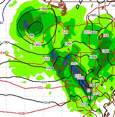
By Paul Huntington After this rather weak inside slider departs late morning a brief dry period with cold temperatures settles in and then Sunday thru Tuesday (12/4-12/6) a blast of cold frigid Arctic air sags southward into California with a slightly more dynamic storm than yesterdays rotating down into interior California. After that cold air mass and storm moves through, Wednesday (12/7) is dry and then the North Pacific jet stream lowers, knocks down the high, and brings in a much wetter and bit warmer storm that should really get Tahoe opening upper lifts by late next week. After Saturday I honestly don't know what to expect with either a weak high establishing or more cold storms. The Climate Prediction Center is seeing troughing along Central/Northern California so I would predict another storm around Monday (12/12) moving in. One thing of note is the PNA (Pacific North America Pattern) is going negative now indicative of a cooler La Nina angular jet stream and i'm h