Two Storms Will Bring Moderate Snow to Sierra and Carson Range
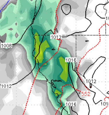
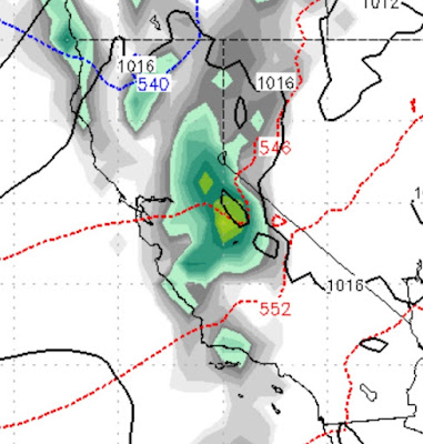
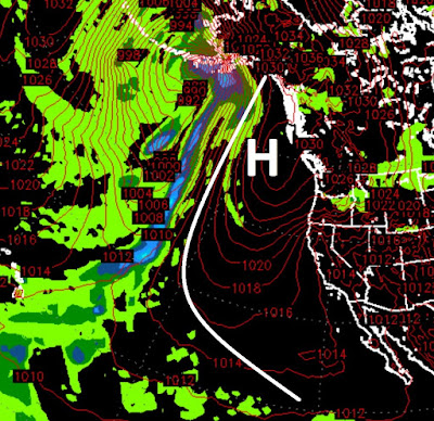
Two well advertised storms (we started talking about these nearly 4 weeks ago) are poised to hit the Sierra and Carson Range. A large storm, that we talked about 2 weeks ago, could be on tap for a week from Thanksgiving. Here are the details: Tomorrow 4:00 pm Friday 4:00 am This should be all snow for Mt. Rose at 8,200. The bulk of the precip will see a snow level from 7,000 to 7,500. As the cold fronts move through those levels will drop to around 6,000 feet. The professionals over at the NWS believe the storm on tap for tomorrow will be the bigger producer. I think the storm for Friday could match tomorrow's or even exceed it. I was concerned about trajectory and a shadow effect. But right now things look good for the Carson range to pick up 18-36 inches by Sunday morning. This pattern is showing no signs of stopping. Next week I will talk about the ridge getting thrown around, but for now that storm we talked about a couple of posts ago looks good for the 29t