One More Storm Then High Pressure Takes Over
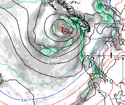
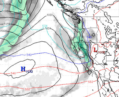
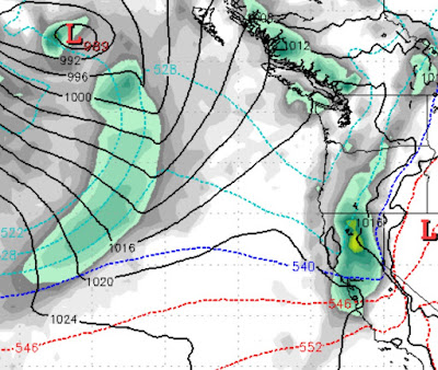
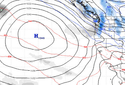
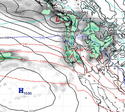
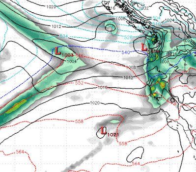
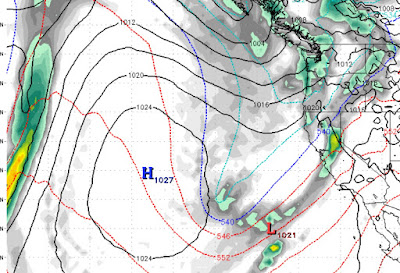
Happy St. Patrick's Day! We are tracking one more storm. This storm has stalled somewhat and will come in on the 18th and last on and off through the 20th. However, the Carson Range could be shadowed from a good portion of this event. One thing that won't be shadowed is the cooler air that will come in behind this storm. Here is a look at the forecast for Friday the 19th: The leading edge of this storm will creep in tomorrow (March 18th) and last into Saturday. We are thinking about a foot of snow for the Western Sierra Crest and 2-3 inches for Mt. Rose. It will take a few days for temperatures to recover, but it looks like this is the last storm for a while as high pressure sets up off the west coast. Conditions are excellent at all Tahoe Resorts so get out and enjoy the coming beautiful weather! Still La Nina, but not For Long We are still in a weak La Nina pattern, but it is winding down and we will move to a neutral ENSO by late spring. What does that mean? Not much for our