As Ridge Slides West, Storm Door to Tahoe Opens
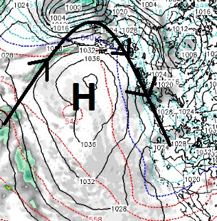
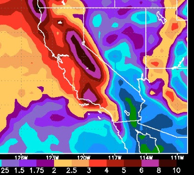
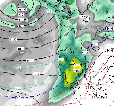
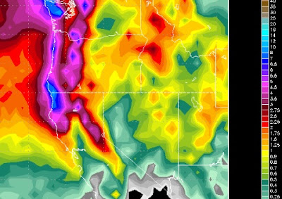
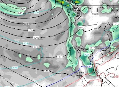
We are liking what we are seeing as we are settling into a classic winter weather pattern. The key of course, is our persistent ridge of high pressure. During the beginning of February, that ridge set up right on the coast and warm mild weather followed it up into Tahoe. As the ridge continues a slow push west, cold air is coming down from the north along with several storm systems. Here is a look at the current conditions, notice the location of the ridge of high pressure, which is much better than the beginning of the month (if you like cold and snow): As the storms follow the Jet Stream up and over the ridge, they then come back down packing cold air. This is a classic "Inside Slider Pattern". Storms come down from the north and even a little from the east and bring cold air and some precipitation. How much is very difficult to forecast. In this pattern, the Carson range picks up more snow than the Sierra. Remember, the Carson Range is located on the eastern side of L