The Year's First Major Storm Cycle is Knocking at the Door
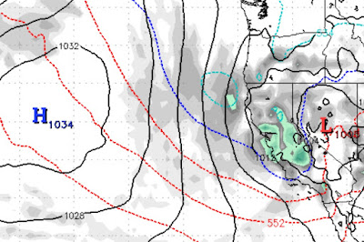
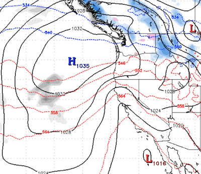
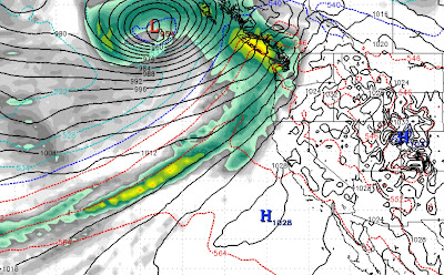
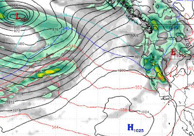
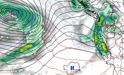
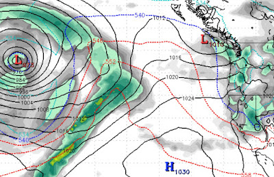
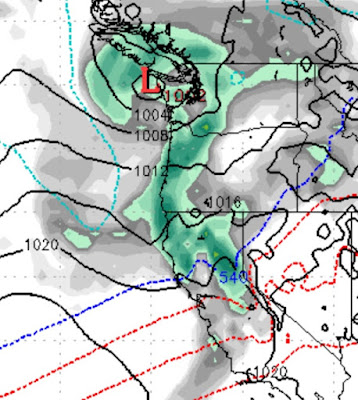
Could we finally be about to start a storm cycle that will bring more typical Sierra storms to the area? Well, if you believe the models, YES! Storm 1 (Friday 1/22 - 1/23) This is a very light storm that could attempt to overachieve. It will send several weak waves of precip into the area and produce by days end Saturday 1-3 inches of snow. Better than nothing. More importantly, it will nudge the ridge of high pressure further west which will open the storm door for bigger storms. Storm 2 (All day Monday 1/25) This is a better storm but still not what we are looking for. However, we see 6-12 inches for the Carson range. Storm 3 (Wednesday 1/27 - Friday Morning) This is a storm with some potential, it is still 6 days out but the weather models are consolidating on our first major weather event, complete with a subtropical moisture tap (18-36 inches) Storm 4 (Sunday January 31st - Tuesday February 2nd) This one is a beauty. It has all the makings of a major winter storm. It is a tad warm