Warm Storm, Then High Pressure Brings Indian Summer
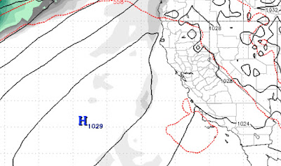
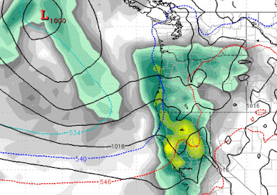
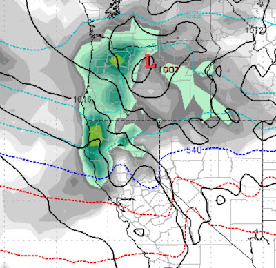
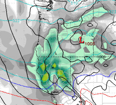
In our last post we talked about this storm coming our way. Mt. Rose will be the winner as snow levels could approach 8,000 feet. We expect less than a foot. Snow levels will fall behind the front, but most of the precip will have already come through. This will be a rain event for the leeward valleys. High Pressure will move into place around the middle of next week. With it will come unseasonable warm temperatures. I believe some valley locations could see 60 degrees or even warmer. Here is a look at the ridge as it moves in and dominates our weather: We are seeing no major pattern shift for at least the next 10 days. Stay Tuned ...