As Weather Pattern Changes, Storms are Stacking Up

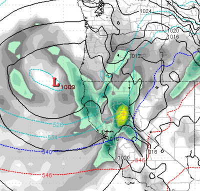
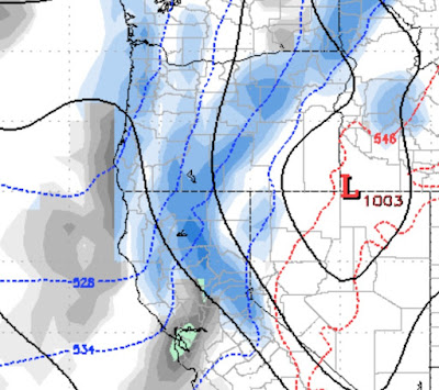
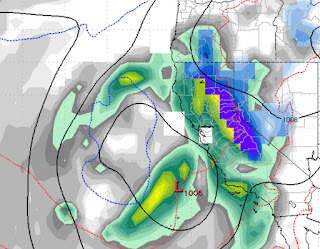
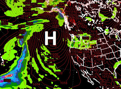
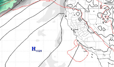
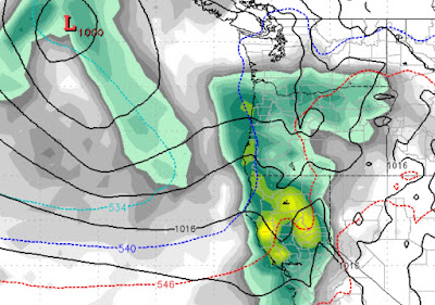
The long awaited weather pattern change has finally arrived and should usher out the ski season in fine fashion as the next 6 weeks looks really good. I would argue that the pattern started it's shift about a week or 2 ago as our ridge of high pressure started getting kicked around, something we had not seen much of in the last 2 months. The current storm could possibly exceed our forecast of 3-6 feet for the Carson Range and will certainly exceed the 6 feet we forecast for the Western Crest. It has picked up a very nice moisture tap from the sub-tropics and is feeding that warm moist air into the cold trough which is now just off the coast and stalled. Eventually this storm will move inland and pass almost right over Tahoe. It will continue to provide plenty of much needed moisture through Tuesday. We are tracking at least 2 more storms that are eerily similar to this storm. The first of these storms we believe will move into our area sometime late next Saturday (March 21