Active Weather Pattern Starts Early Next Week
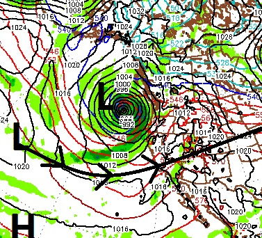
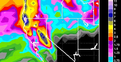
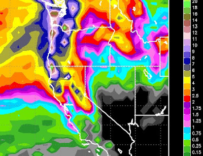
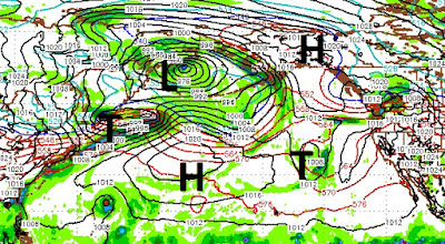
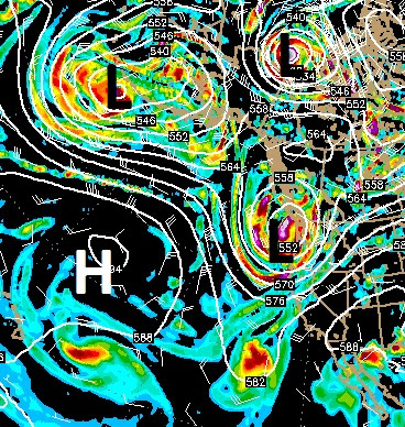
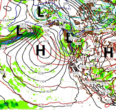
Our persistent ridge of high pressure will be pushed out to sea as a large storm drops out of the Gulf of AK. In the meantime the latest Typhoon, will spin around this low and bring much needed soaking rains to all of California. For Rose to open, top to bottom, by Halloween, snow elevations are critical in these next series of storms. First, take a look at the Pacific: First, the northern storm will send a shortwave right through the Tahoe area. Although this wave will weaken the further it moves inland, we should pick up some precip very late on Monday or Early Tuesday morning especially west of Lake Tahoe and west of the Sierra in general: Right now it looks like there will be a strong shadow effect and the Carson Range may be left out. We will keep an eye on this. This is another fairly warm storm and snow levels will hover around that 8,000 foot mark. The next storm, which wraps around this low pressure system, will pick up a very strong moisture tap and should bring