Major Pattern Change (Finally) Set For Next Week
We predicted above average snowfall for the year. I am sure that most readers are thinking we are crazy. This has been a slow start to say the least. That is about to change, at least precipitation wise. A series of warmer storms will pull moisture from the tropics and deposit it all over California and Northern Nevada.
The fun gets started a week from today. Remember these are very warm storms and snow levels will most likely be above Lake Tahoe (6,400) feet.
Monday December 18th:
Friday December 22nd

Christmas Day

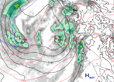
A couple of things with noting here: These storms are progressively turning colder. This is a storm train where the storms are also getting stronger. We are looking through Christmas Day, but this pattern is showing no signs of changing.
These storms are typical of El Nino, in that they are warmer and not quite as strong as the storms we were seeing last year. They are also more frequent which can lead to heavy precipitation with very little letup, sometimes for weeks.
Finally, here are the predicted precip totals through Christmas Day. Nothing to get too excited about yet, but the pattern has changed and the week from Christmas through New Years will be very interesting.

Stay Tuned ...