Storm Continues to Slam Tahoe - Avalanche Warning, Extreme Back Country Conditions
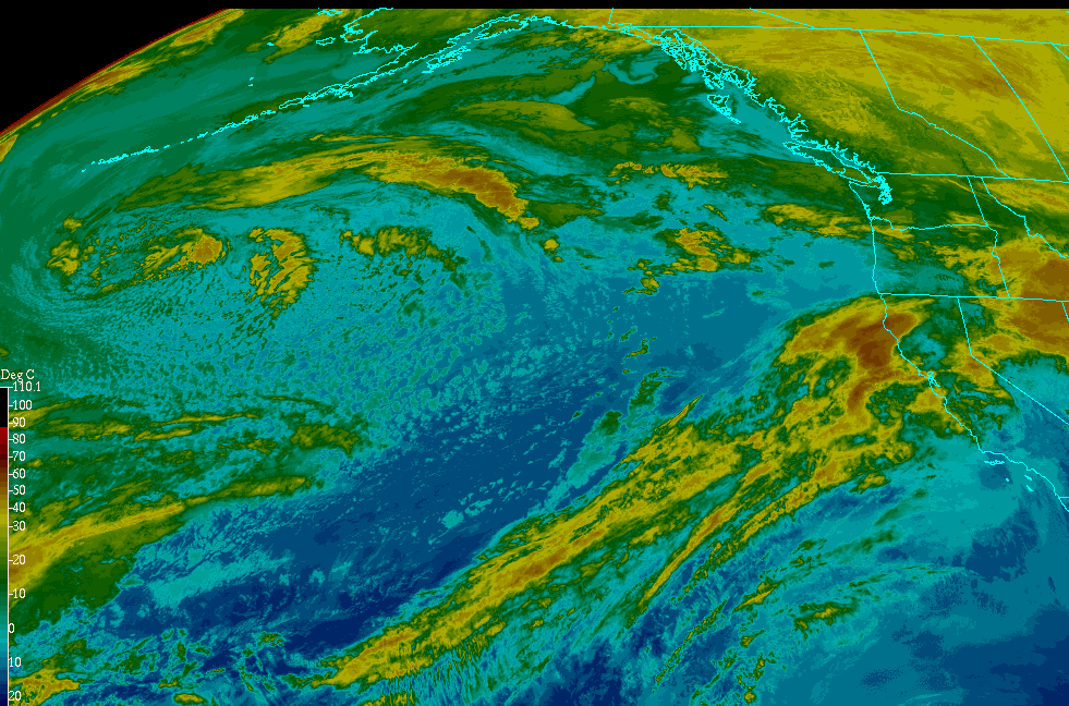
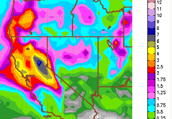
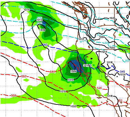
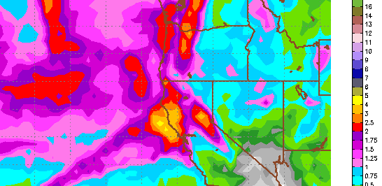
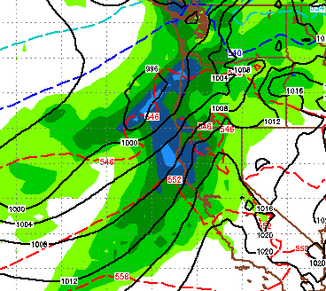
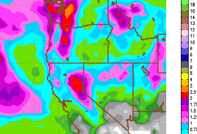
First the important stuff; BEFORE YOU GO OUT IN THE BACK COUNTRY, CLICK THE FOLLOWING LINK AND EDUCATE YOURSELF, STAY ALIVE: Extreme Avalanche Warning Lake Tahoe is right in the bulls eye of one of the biggest storms we have seen in years. As sub tropical moisture is pulled from the southwest moisture plume and our low pressure system has stalled (actually moved west), copious amounts of rain and snow have fallen around the entire Tahoe area. Some of the snow totals are staggering! Squaw Valley has picked up over 5 feet, while Mt. Rose is closing in on 3 feet. There is still another 18 hours (at least) to go on this storm which could bring some of the heaviest precip we have seen. Here is a look at the current conditions, you can see our Pineapple Express is still very much intact and feeding our low pressure system: By the time this is over, many west Tahoe ski areas, like Sugar Bowl and Squaw Valley, could be in the 7 foot range of total snowfall. Mt. Rose will probably go