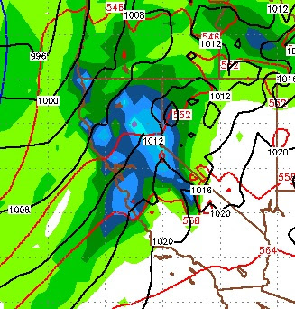
Move to Stormy Pattern Starts Thursday Morning
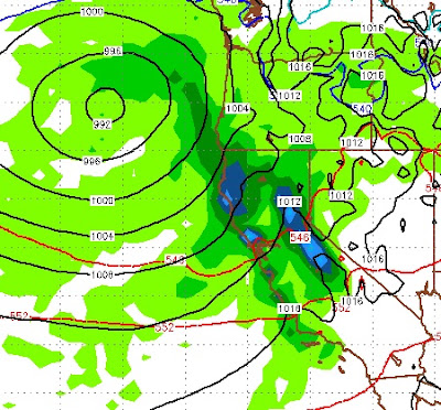
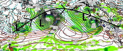
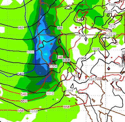
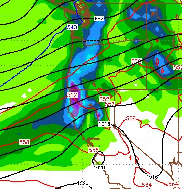
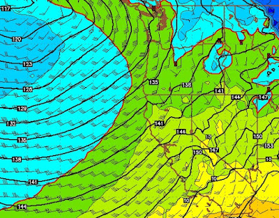
High Pressure is dominating our weather with deep valley inversions and beautiful warm mountain days. That is going to come to an end on Thursday morning as a decent sized storm moves in from the west and will bring moderate precipitation to the Sierra and Carson Range. Then, after that storm moves out, an even bigger system it going to move into the area in about 8 days. That system may move north of us, too soon to tell. Here is a look at the first system very early Friday morning when the peak of the precipitation begins: This system will hang around and deliver moderate to heavy precip until around noon on Saturday. Snow levels will start low, rise to around 7,500 feet and then drop as we get on the backside of the front. I do not see any accumulating snow below 6,000 feet. However, we will almost certainly see some rain in the valleys. The higher and further west you are, the more rain you will get. I see the leeward foothills picking up close to an inch. The next system