Next Storm Colder, Drier
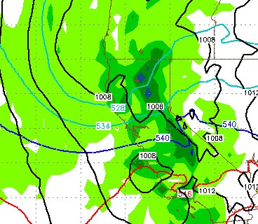
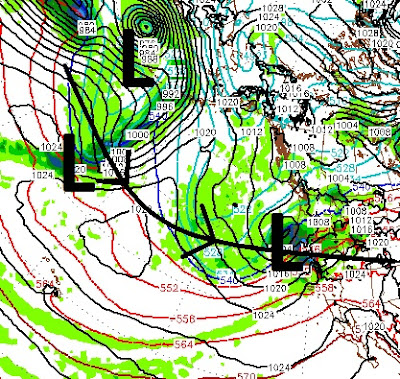
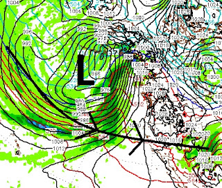
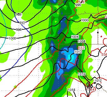
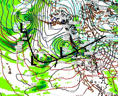
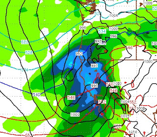
As the cold front passed through last night, it severed the line of warm moist air to Tahoe. As a result, it looks now like we may receive an extended break, with the exception of a fast moving, much cooler storm that is on tap for this weekend. The original model runs showed a much better moisture tap. Now, this storm's trajectory is much more out of the north and I do not see a major weather event like what we have witnessed over the last couple of months. Once this storm moves out, high pressure will take over for at least 4-5 days. The storm will arrive Sunday afternoon and be gone by Monday at noon. Here is a quick look at the forecast for Sunday evening: This is a much cooler storm than we have seen in quite some time, so I look for higher snow ratios. In fact, I still see around 2 feet of very light powder for Mt. Rose on Monday. While the other side of the lake could see double that in some places particularly at the Sierra Crest. Here is what we are looking at i