Not a Carbon Copy of Last Year
I have been hearing about all the December snow and am continually reminded that the spigot shutoff for a few months after December, last year. That is not happening this year.
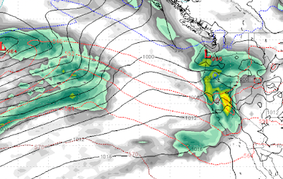
First, we have a couple of near misses that will produce some precipitation for the Sierra starting Friday and lasting through the weekend. I do not expect any major storm from this system for Tahoe. The same cannot be said for the Pacific NW as they will get a blast from this one.
Then, next Tuesday (12/27) our pattern changes.
A very warm storm will pick up a weak sub-tropical moisture tap and bring rain and snow to the Sierra. Folks, this one could rain to very high elevations (9,000 feet) as the air is very warm. You have to go up to BC to find some colder air.
Then, late on Wednesday the 28th of December another system drops in from the north. This will still be a very warm system, but nothing like the previous storm and hopefully will bring all snow to Slide Mountain, although very wet, heavy snow.

A third storm then moves in around the 30th of December.

This one looks like the best of the bunch. It should bring mostly snow to Mt. Rose with its high base. This one stalls out and could produce significant precip for several days or more!

This storm will eventually bring in much colder air and should finish as all snow for Tahoe.
I don't want to get too far ahead, but it looks like we will have more precip in the first few days of January 2023 than we did the entire months of January and February 2022!
Here is a look at the forecast for total liquid precip through the first few days of January as the Sierra Storm Machine really gets cranking:

Many areas around Tahoe, including Mt. Rose, are looking at 10-12 inches of liquid precip. The Western Crest will see even more. The big question is: How much will be rain and how much will be snow?
Stay Tuned ...